Map-Centric Asset Management (GIS)
Bring your data to life visually and work with facilities, assets, work orders and more from interactive maps.
What is Map-Centric Asset Management?
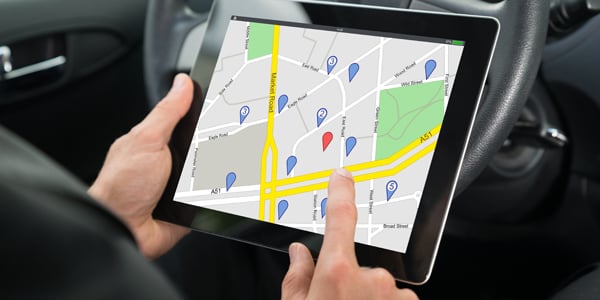
Geographic Information Systems (GIS) software has become an indispensable tool for understanding the location of facilities and infrastructure assets that may be widely dispersed such as across a state, county or large city. GIS software allows you to identify the location of assets such as buildings, roads, bridges, signals, signs, drainage features, landscaping, parks equipment ...to name just a few. Viewing your assets on interactive maps helps you to visualize their location relative to other assets (spatial relationships) as well as their proximity to other assets (distance), which aids asset managers in their day-to-day decision making.
GIS mapping can provide insightful visualization of your facilities, assets, work orders and more to answer questions such as: Where are all of our facilities located? Where are all the streetlights that need to be upgraded? Where should we locate our new service center? Where, exactly do the repairs need to take place? What's within proximity of the incident/emergency? Show me all the work underway in district 5.
Although GIS software can be a great repository for asset data, it wasn't necessarily designed to address all the needs that asset managers have such as: work orders, preventive maintenance, parts inventory, the tracking of costs, strategic planning, capital projects, resource scheduling, process workflows, and more. As such, the ideal scenario is to use a map-centric asset management software, which is an asset management system (e.g., an IWMS, EAM or CMMS system) with embedded GIS capabilities.
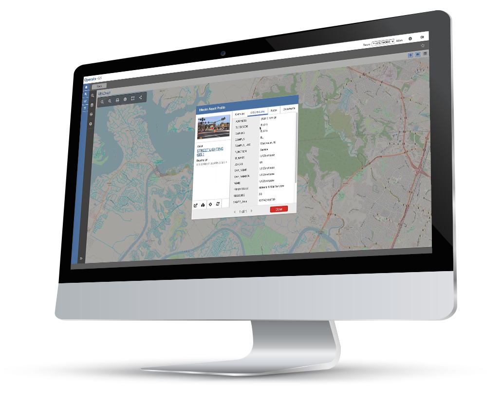
Well, it just so happens that FacilityForce offers map-centric asset management with its product called "Locate". Leveraging Esri's industry-leading geographic information system (GIS) software, Locate enables location intelligence for your facilities and assets. Locate embeds the power of Esri's ArcGIS mapping software into FacilityForce for map-centric asset management. Rather than viewing a simple list of data, Locate brings your data to life by displaying facilities, assets, work orders and more on interactive maps that allow you to show/hide layers, zoom in and out, select multiple assets, view detailed information about the assets, and perform actions on those assets. You can even connect to multiple Esri ArcGIS databases (e.g., Facilities, Corrections / Public Safety, Parks & Recreation, Public Works, etc.) for enterprise-wide facilities and asset management.
FacilityForce is asset intelligence. Esri is location intelligence. Coupling them together with Locate is the smartest way to manage all your facilities and assets. We invite you to read on and explore our website to learn more about the powerful capabilities of FacilityForce and its integration with Esri's ArcGIS.
Key Benefits
Map-Centric
Interface
Interface
Leverage Data in Esri's ArcGIS
Discern Proximity of Facilities & Assets
Manage
Horizontal Assets
Horizontal Assets
Visualize Spatial
Relationships
Relationships
Enable Location
Intelligence
Intelligence
Industry-Leading
GIS Technology
GIS Technology
Our Unique Approach
Map-Centric Asset Management
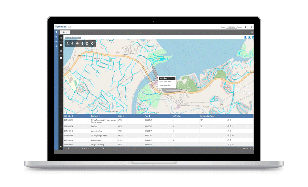
Simply pan, scroll and zoom to find the exact asset you're looking for, and then right-click to perform actions such as: View Details, Create Work Order, Create Inspection and more.
Leverage Your ArcGIS Data
Visualize Spacial Relationships
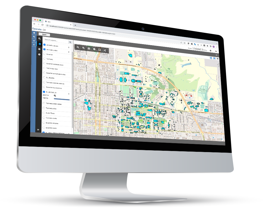
Nothing helps you understand spatial relationships and the proximity of things better than seeing them on a map. With the power of Esri embedded in FacilityForce, you can visualize your facilities, assets, work orders and more to to get insightful answers to your questions about "where".
Get answers to questions like: Where are all the DOT facilities located? Where, exactly was the cable cut? Where should we locate our new community center? Where are the signs that need to be replaced? Where should we stage emergency services for the incident? Where is work being performed in my district? and so many more...
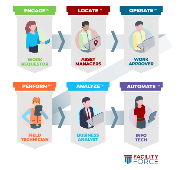
End to End Solution
FacilityForce provides a comprehensive, end-to-end solution for facilities management including the ability to:
- Capture complete details via a sophisticated online request engine (Engage),
- Enable map-centric asset management with the embedded power of Esri ArcGIS (Locate),
- Route requests according to your business processes for approval, schedule and allocate the necessary resources (Operate),
- Dispatch to field personnel who use mobile apps to locate the job, order parts, log time and complete the work (Perform),
- Track complete costs and performance metrics across your organization (Analyze),
- Leverage standardized tools to streamline processes and exchange data with other systems (Automate).
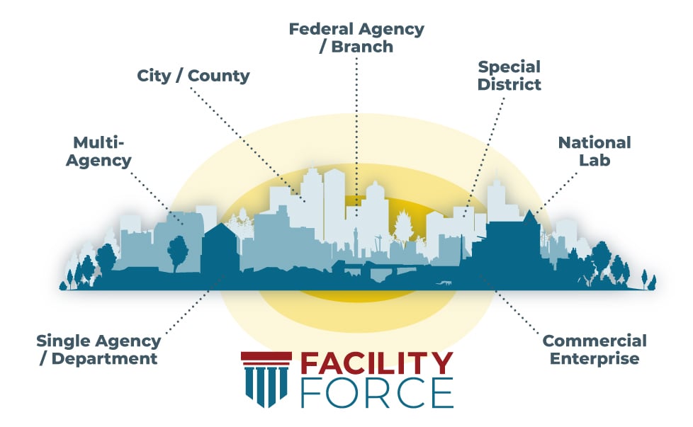
Define Your Scope
FacilityForce is an enterprise application that can be deployed as narrowly or as broadly as you'd like, meaning you can use it within a single department, across multiple agencies or deploy it organization-wide (i.e., entire state/county/city/federal agency).
Some customers start with a single department (such as general services, facilities) and find they can easily add real estate, capital construction, transportation, health, education, corrections, parks and more. Ultimately, broader scope can be a force multiplier as greater visibility across a portfolio leads to better alignment with organizational goals.
Related Products
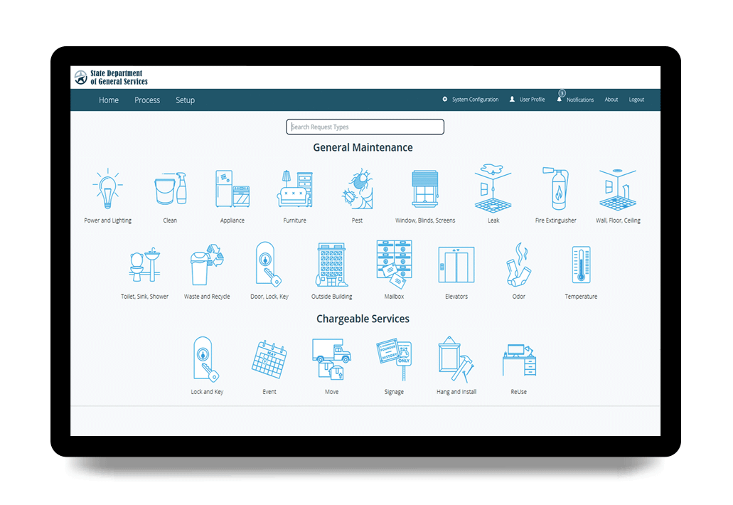
Engage
Engage is a family of self-service portal products that extend the power of FacilityForce to the community you serve, enhancing communication and improving customer service.
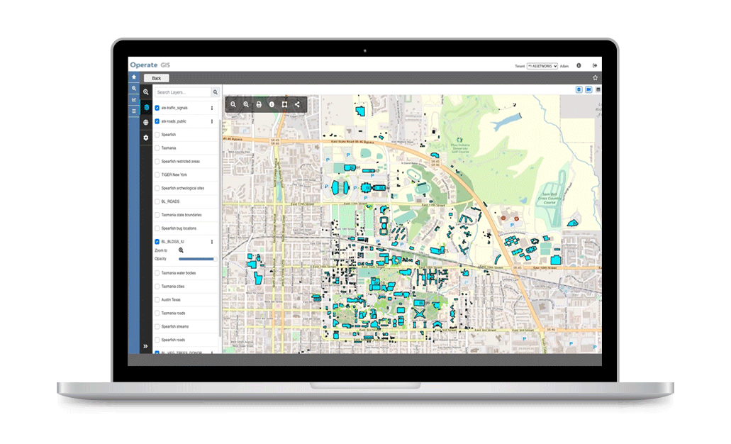
Locate
Locate enables map-centric asset management with the power of Esri's ArcGIS embedded in FacilityForce. Bring your data to life visually and work with assets, work orders and more on interactive maps.
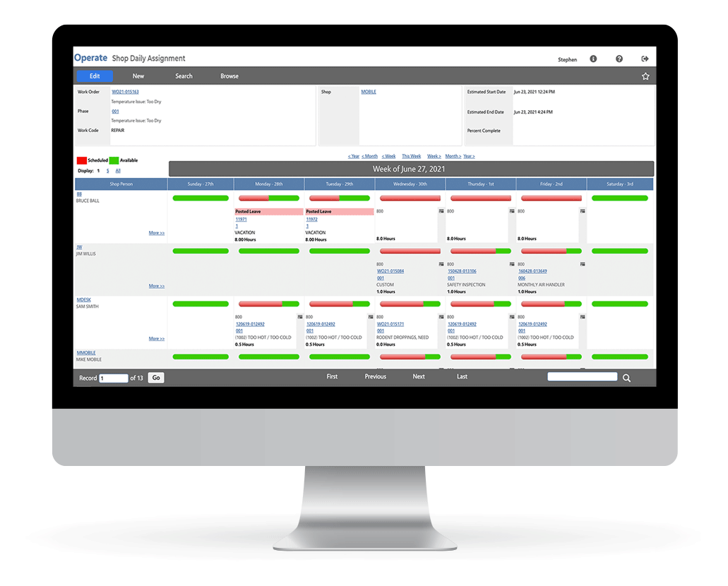
Operate
FacilityForce Operate is the core family of integrated enterprise solutions and specialized modules used to holistically manage facilities and assets, and to maximize their value to your organization.
Perform
Perform is a family of mobile applications that puts the power of FacilityForce in the hands of your field personnel and technicians, making them more productive on-the-go, wherever they need to be.
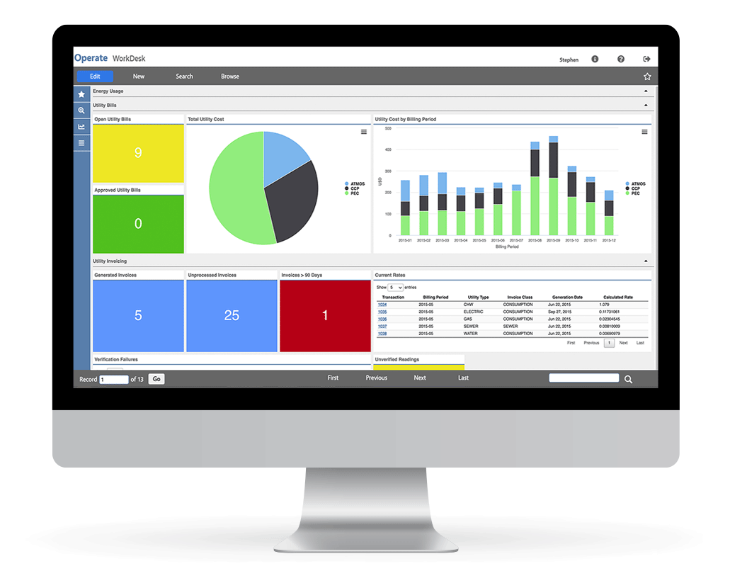
Analyze
Analyze is the business intelligence solution built into the FacilityForce platform, which makes valuable and actionable business insights available to stakeholders in your organization.

Automate
Automate is an optional add-on to the FacilityForce platform that provides for business process automation and standards-based integration with other key systems in your facilities' ecosystem.
Testimonials

Thomas Miller - Chief Real Estate Officer

Tim Corbett - Chief Deputy Director

Anthony Griffin - Director of O&M
Related Learning

NASFA's 2025 Great Plains & West Regional Meeting
We’re excited to announce that FacilityForce will be attending and sponsoring NASFA’s Great Plains...
Keep reading
IFMA World Workplace 2025
We’re excited to share that FacilityForce will be attending IFMA World Workplace 2025, the premier...
Keep reading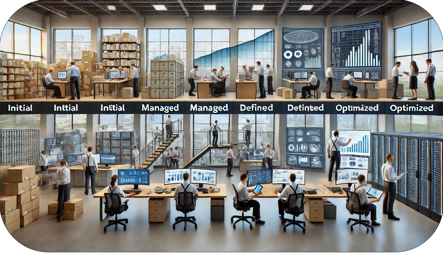
Unlocking the Power of Facilities Data Redux - Data Governance
Data governance can play a pivotal role in making your data work for you. As organizations...
Keep readingLet's Chat

The best way to confirm whether our software is a good fit for your organization (and vice versa) is for us to discuss your specific challenges and goals, so let's chat...